Google Earth placemark and map location (BBS post)
Hoher Peißenberg is a relatively well-known foothill of the Bavarian Alps. Due to its elevation of 987 m and its location about 25 km away from the northernmost mountain range, it offers excellent panoramic views. It has a higher but less known sibling, Auerberg, in 22 km air-line distance to the southwest. One can always check the weather conditions and visibility using the webcam, bearing in the same direction. The webcam is operated by the oldest mountain based meteorological observation station in the world, established on 1st January 1781.
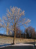
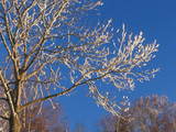
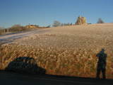
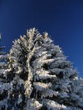
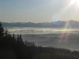
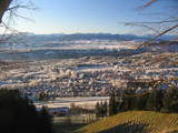
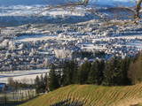
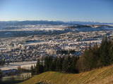
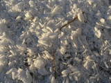
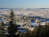
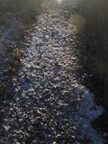
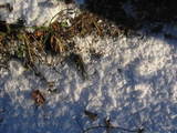
After a couple of days with fog covering the lowland, today's views were gorgeous - not only of the mountains in the distance, but also of the surrounding lowland. Due to temperature inversion, the hoar frost in the lowland lasted a couple of hours longer than on the hill.
|
| 
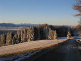
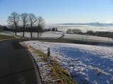
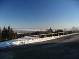
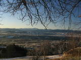
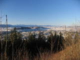
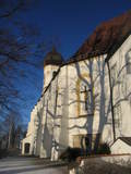
view from Peiting
| 
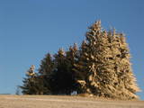
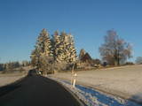
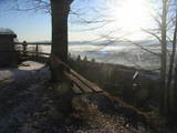
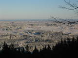
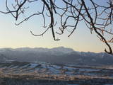
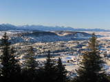
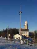
from Hohenpeißenberg
| 
| 
|
|---|
|
| 
| 
| 
| 
|
|---|
|
| 
Allgäuer Alpen
| 
| 
| 
|
|---|
|
| 
Chiemgauer Alpen, Benediktenwand
| 
| 
| 
|
|---|
|
| 
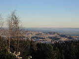
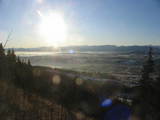
Ammersee still covered by fog
| 
| 
| 
|
|---|
|
| 
Hörnle, Zugspitze, Kreuzspitze
| 
Zugspitze
| 
| 
Jochberg, Herzogstand, Heimgarten
|
|---|
|
| 
| 
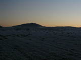
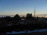
Hohenpeißenberg
| 
Ammergauer Alpen
| 
|
|---|
|
| 
| 
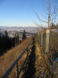
Ammerleite, Schnaidberg
| 
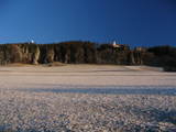
Auerberg
| 
|
|---|
|
| 
| 
| 
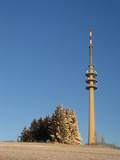
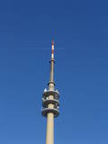
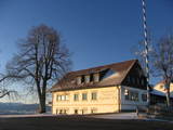
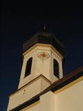
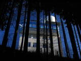
meteorological station
| 
|
|---|
|
| 
| 
| 
| 
|
|---|
URL: http://David.von-Oheimb.de/gallery/Peissenberg/index.html,
Last modified: Sat Dec 26 22:08:05 CET 2009